


Official Community Maps
That Inform, Promote & Connect
Professionally designed city and county maps created for local governments, Chambers of Commerce, Convention & Visitors Bureaus, and tourism organizations—at no cost to the sponsoring entity.
Funded through local business participation, these large-format maps provide residents, newcomers, and visitors with a trusted community resource while promoting the businesses that support it.
More than just a map, each edition combines detailed local information, community promotion, and an interactive online experience designed to extend its value long after it leaves the rack.
Have questions about our City & County Paper Maps? View our Frequently Asked Questions ↓
Why Communities Choose Our Maps
Our maps serve as both an informational resource and a community marketing tool. Sponsoring organizations receive a professionally produced publication without impacting their budget.
- No cost to the sponsoring organization
- Complimentary 4" × 3" display advertisement for sponsor
- Funded through local business advertising
- Professional design and production
- Official county or city designation when applicable
- Promotes local businesses and attractions
- Supports tourism and relocation efforts
- Provides a resource residents and visitors use and keep


Designed Around Your Community
Each map is customized to reflect the unique character and needs of the communities it serves.
Maps commonly include:
- Detailed county map
- City maps with street indexing
- Major highways and local roads
- Community and city boundaries
- Schools and educational facilities
- Hospitals and medical facilities
- Airports and airfields
- Cemeteries
- Government facilities and offices
- Emergency services locations
- Scale and legend
Depending on the community and available information, maps may also feature colleges and universities, museums, historic districts, golf courses, lakes and marinas, trails, fairgrounds, military installations, local history, calendars of events, and additional points of interest.
Built for Distribution
Designed to be both highly detailed and easy to distribute, our maps fit seamlessly into the everyday operations of sponsoring organizations.
- Large 3' × 2' full-color format
- Two-sided design maximizing available information
- Folded to fit a standard #10 envelope
- Rack-ready for display and distribution
- Ideal for welcome packets and mailings
- Professional printing and finishing
Large enough to provide exceptional detail, yet compact enough to keep at the front desk, in a welcome packet, or in a glove compartment.


Advertising That Helps People Find You
Participating businesses become part of a community resource people actively use.
- Front cover exposure
- Business locator dots identifying map locations
- Optional logo-enhanced locator markers
- Custom locator legends
- Enhanced digital advertising opportunities
Rather than simply seeing your advertisement, users can quickly locate and connect with your business both on the printed map and online.
Broad Community Distribution
These maps are designed to reach residents, newcomers, visitors, and prospective businesses throughout the community.
Maps are commonly distributed through:
- County offices
- City offices
- Chambers of Commerce
- Convention & Visitors Bureaus
- Tourism offices
- Welcome centers
- Community events
- Participating advertisers
- Hotels and lodging providers
- Real estate offices and relocation packets
Participating advertisers also receive maps for distribution through their businesses, expanding the reach and lifespan of the publication throughout the community.

Extend Your Visibility Online
Every advertiser receives an online presence through the interactive map experience.
- All advertisers receive a complimentary 30-day online listing
- Premium advertisers receive one year of enhanced visibility
- Standard advertisers may extend their listing at any time
- Enhanced listings include expanded business information and contact options
Enhanced listings may include phone numbers, websites, email addresses, social media links, business locations, enlargeable advertisements, and premium locator enhancements.
Print Meets Digital
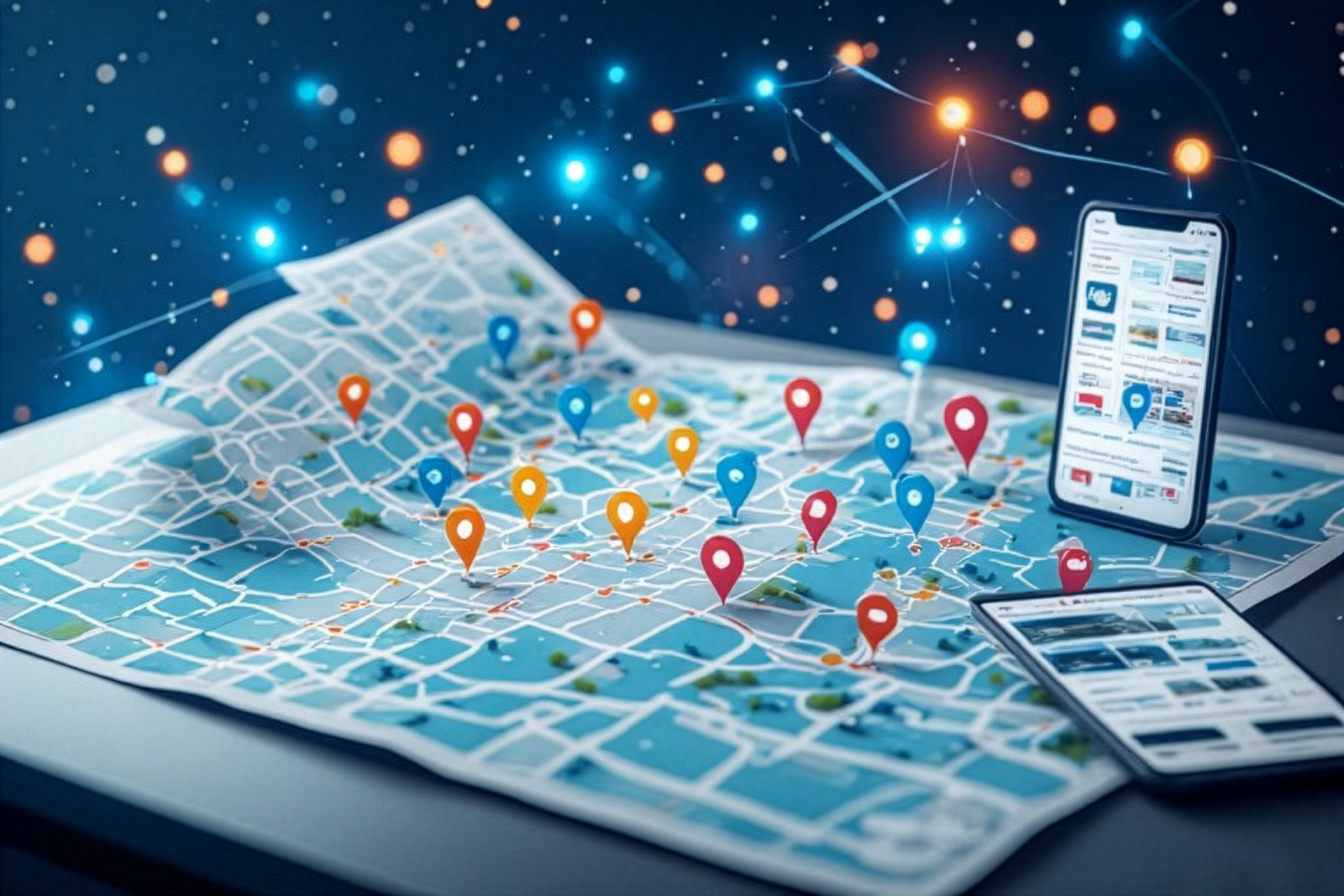
Every community map includes a complimentary interactive online version, extending its usefulness beyond the printed publication and creating additional opportunities for participating businesses.
- Interactive online map access
- Mobile-friendly experience
- Zoomable map interface
- Clickable business listings
- Tap-to-call phone numbers
- Website links
- Email links
- Social media links
- Address information and directions
- Enlargeable display advertisements
The result is a seamless experience that combines the convenience of digital access with the lasting value of a printed map.
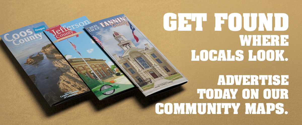
Ready to Put Your Community on the Map?
Whether you're representing a county, city, Chamber of Commerce, Convention & Visitors Bureau, or tourism organization, we can help you create a professional community map that informs, promotes, and connects.
Contact us today to learn how a custom community map can serve your residents, visitors, and local businesses—without impacting your budget.
Frequently Asked Questions (FAQ)
City & County Paper Maps are large-format, full-color maps designed to provide useful geographic and community information in a convenient printed format. They can be developed for cities, counties, communities, tourism organizations, chambers, and other organizations that need a detailed printed map.
Our City & County Paper Maps are normally produced at 36" x 24". In some projects, a larger format may be appropriate when the amount of map information or advertising requires additional space. Map size is determined by the needs of the project.
Yes. City & County Maps are printed in full color so that roads, geographic features, landmarks, community information, and other map details can be clearly distinguished.
Yes. Our standard City & County Maps are printed on both sides, providing space for detailed mapping as well as additional community, tourism, business, or advertising information.
The standard 36" x 24" maps are folded into a compact format that makes them easier to handle, distribute, and carry. The folded size is designed to fit conveniently into a standard #10 envelope.
The amount and type of information included can be customized for each project. Depending on the available mapping data, a map may include landforms, cemeteries, building footprints, property or plot lines, trails, parks, campgrounds, oil and gas wells, museums, hospitals, libraries, police stations, fire departments, correctional facilities, city halls, courthouses, wetlands, canopy cover, 3D DEM shaded relief, and many other geographic or community features.
Yes. We can incorporate a wide range of geographic and community information when suitable source data is available. The level of detail varies by project and may include natural features, property information, public facilities, recreational areas, transportation features, and other points of interest.
Yes. Cities and communities are indexed on the map using a grid reference system, such as A-1 or D-4, so users can locate them more easily. We can also include other locations and points of interest when appropriate for the project.
Yes, although the amount of road indexing depends on the size and complexity of the map. With maps containing thousands of roads, we typically index major thoroughfares and may also include selected FM and CR roads. Depending on the project, some county roads can be indexed in part.
City & County Maps are often sponsored or endorsed by a County Judge, city government, Convention and Visitors Bureau, tourism organization, chamber of commerce, or another local organization. When a city or county office sponsors a map, the publication can serve as an official map for that city or county.
The sponsor receives the bulk of the printed maps for distribution, a free 4" x 3" advertisement, and front-cover recognition with a "Sponsored by:" designation. Sponsorship also provides an opportunity for the sponsoring organization to help support a map that represents its community or area.
Depending on the size of the advertisement purchased, advertisers may receive maps shipped to their business location. The number of maps provided can vary based on the individual advertising arrangement.
Yes. When a city or county office sponsors the project, the resulting map can serve as an official map for that city or county. The map can be developed to provide residents, visitors, and businesses with useful geographic and community information.
Distribution depends on the individual project and sponsoring organization. The sponsor receives the bulk of the printed maps for distribution, while advertisers may also receive maps based on the size of their advertising purchase.
Yes. Local businesses and organizations can advertise on City & County Maps. Advertising helps support the production of the map while giving participating businesses an opportunity to be included in a useful community resource.
Yes. Each map can be developed around the needs of the community, county, sponsoring organization, and available mapping information. The content, geographic detail, points of interest, indexing, advertising, and other elements can be determined as part of the project.
Whether you are a city, county, tourism organization, chamber, business, or other organization interested in a City & County Map, Contact Liberty Marketing to discuss your project, mapping needs, sponsorship opportunities, or advertising options.